What a funnel point is, and why it gets first look on the daily pass
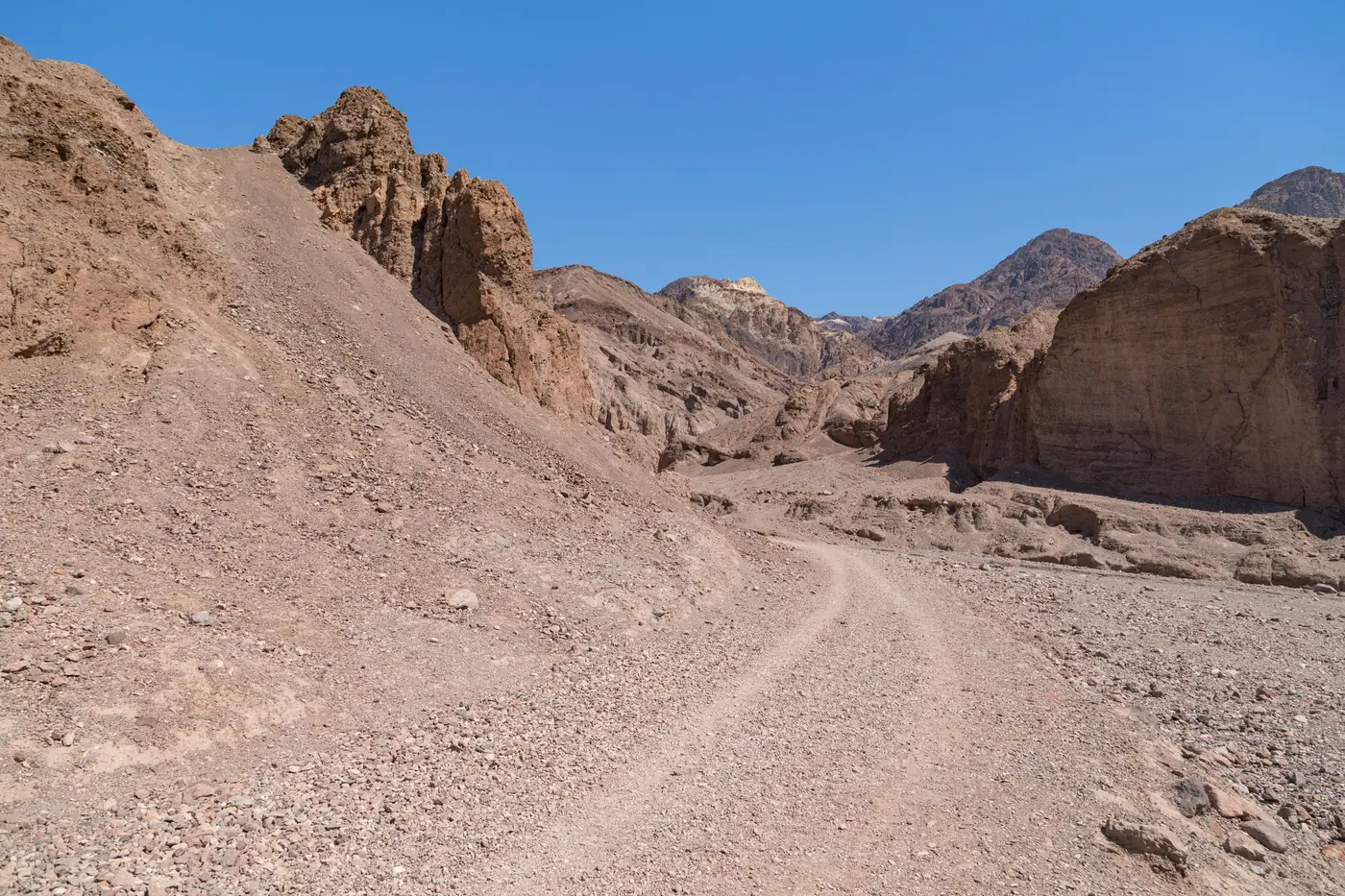
A funnel point is any spot along the line where terrain narrows the ground enough to force foot or vehicle traffic into one lane. A wash that pinches between two ridgelines. A saddle between hills that's the only grade a loaded pack animal or a group on foot can take without backtracking two miles. A single culvert under a highway that's dry six months a year. The boundary itself might run flat and featureless for forty kilometers, but the ground on either side of it has its own opinion about where people walk.
Analysts who've worked a sector long enough stop thinking of the line as a line and start thinking of it as a string of these points connected by stretches that mostly don't matter. Groups moving at night, moving fast, or moving with guides take the path of least resistance, and the path of least resistance is dictated by slope, vegetation density, and water, not by the coordinate where the boundary happens to sit on a map.
Why terrain decides this before policy does
A fence line or a vehicle barrier changes where people go. A ridge or a canyon wall decides whether they can go there at all. You can move a checkpoint. You can't move a mountain. So when new infrastructure goes in, a lot of the old funnel points stay funnel points. The staging just shifts a few hundred meters one way or the other while the terrain constraint holds.
That's just how foot traffic behaves, and it's why a sign-cutter on the ground and an analyst reading a daily pass end up circling the same handful of grid squares. Trail convergence points, where two or three worn paths merge into one right before the line, are the giveaway. A single trail might be nothing. Three trails braiding into one at a pinch is a funnel point whether anyone's logged it before or not.
What changes the priority on a given day
A funnel point earns daily attention for one reason: it's where new activity shows up first and most often. Scrub a full sector segment by segment every morning looking for what's different since yesterday, and most of the look-time goes to ground that rarely changes, leaving less for the ground that does. Flip that. Start with the known chokepoints, then widen out if something there looks off.
What that means for the pass over a funnel point:
- A new track or braided trail that wasn't there the day before
- Vehicles or packs staged near the terrain pinch rather than moving through it
- Trampled or disturbed ground at the point where paths converge
- A gap or cut in fencing near a natural chokepoint, which means someone's already confirmed the terrain advantage and started working the barrier to match it
None of this holds up on a once-a-week look. A trail three days old has already served whoever cut it, and the staging area behind it is gone by the time anyone circles back. Funnel points are the parts of the line where "what changed since yesterday" actually means something operationally, instead of being a line item in a report nobody reads twice.
That's the logic behind running a daily console feed built around a defined boundary line instead of paging through archive tiles from scratch each morning. The known chokepoints get checked first, every day, without an analyst re-deriving which segments matter.
If your sector has a handful of these points doing most of the work, it's worth seeing what a standing watch over them looks like.