Crossing and track detections
Each new crossing or track is a dated point along the line, tied to its segment. This serves the "spotting new tracks and crossings" row, and it loads into a GIS workstation or common operating picture as a layer.
Border Monitoring flags new crossings, tracks, fencing changes and staging areas along your boundary line from daily VHR imagery, so the shift starts from a list of what changed since yesterday.
THE JOB TODAY
You open the archive, pick a segment and compare its tiles against the last set you looked at. Then the next segment. The ground teams cut sign on the drag roads they can reach, which covers the stretches an agent has walked or driven and little else.
Before the shift is over the desk has read part of the line, and the handover note goes to the next watch officer as a memory of what you saw. Nobody can say from a record what was new on segment nine on Tuesday.
| Step | The tile scrub | With Border Monitoring |
|---|---|---|
| 01Deciding where to look first | The tile scrubYou start at the segment where the last incident was, or work the line in order from one end. | With Border MonitoringThe feed lists the segments with something new since yesterday, and you start with those. |
| 02Spotting new tracks and crossings | The tile scrubYou compare tiles by eye against the last set and try to remember what the ground looked like before. | With Border MonitoringNew tracks and crossing points arrive as dated point features along the line, so you check each one rather than hunt for it. |
| 03Watching the fence line | The tile scrubA change in the fence shows up when an agent drives past it, or when someone happens to notice on a tile. | With Border MonitoringNew and removed fence segments are flagged against the previous pass, by segment. |
| 04Staging areas | The tile scrubVehicles gathering near the line are found by chance, if the tile you happen to open shows them. | With Border MonitoringNew groupings of vehicles or structures near the boundary are flagged, with the date they first appeared. |
| 05The handover log | The tile scrubA note written from memory at the end of the shift, plus whatever screenshots you saved. | With Border MonitoringA daily log export, referenced to segment, that the next shift opens as it is. |
| 06Tasking and the judgment call | The tile scrubYou decide what a mark on a tile is and which asset goes to which segment. | With Border MonitoringYou decide the same. A flag is a place to look, and the feed does not say what a mark is. |
| Still yoursDeciding what each flag means, tasking patrols and aircraft, and any response. Nothing in the feed is an operational instruction. | ||
Each new crossing or track is a dated point along the line, tied to its segment. This serves the "spotting new tracks and crossings" row, and it loads into a GIS workstation or common operating picture as a layer.
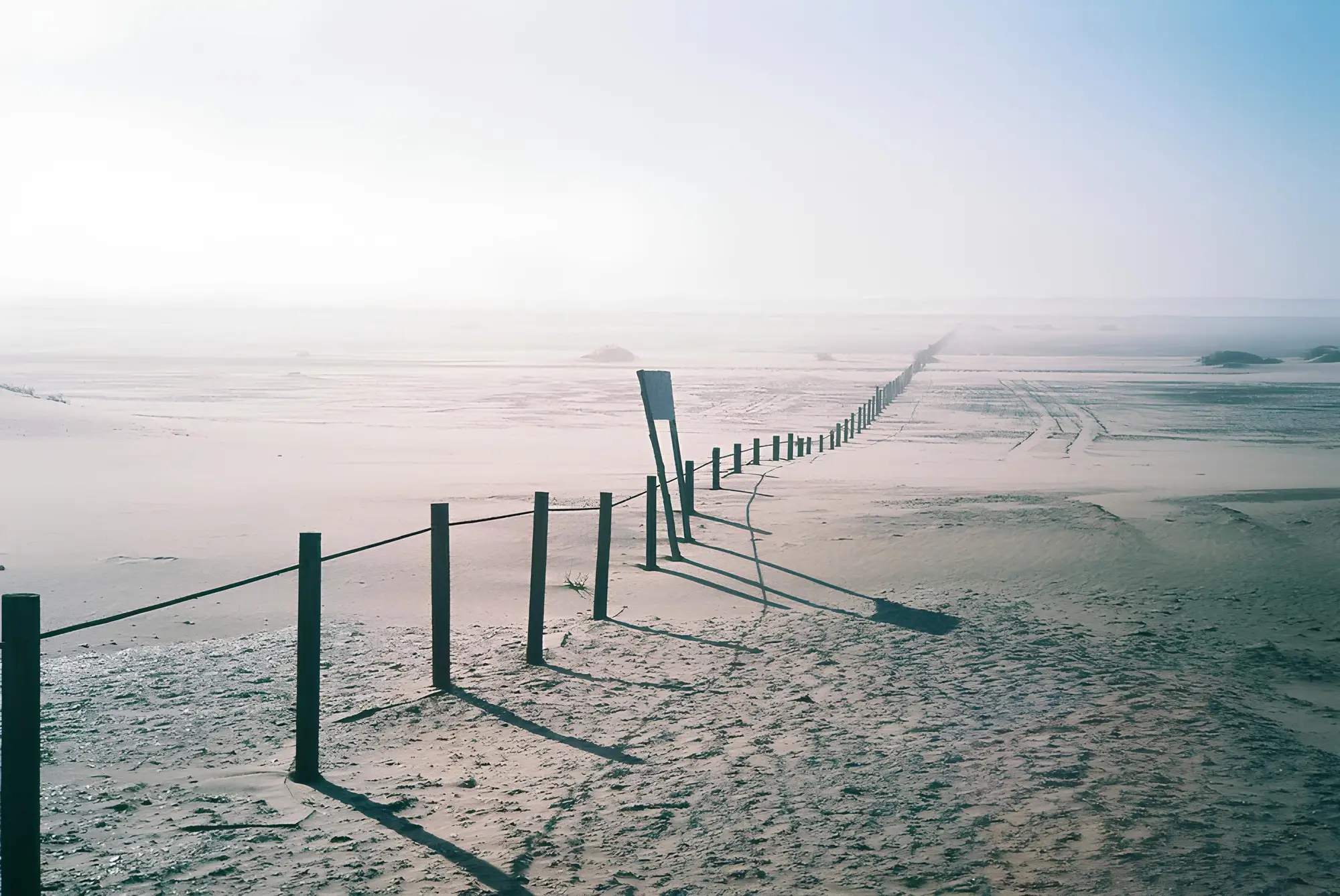
New or removed fence segments, compared with the previous pass. A flag says what changed and where on the line, and leaves the judgment on cause to you.
New groupings of vehicles or structures near the boundary, with the date they first showed. Read them before you task.
One row per flag, with segment, date and type, so the handover note becomes a file. This serves the log row.
You send the boundary line and the corridor to watch, and the segment names your desk already uses.
A VHR pass covers the corridor each day, whenever a clear one can be taken. Where cloud blocks a segment, that segment waits for the next pass.
Detection and change models compare each new pass with the previous one along the line and mark new crossings, tracks, fence changes and staging activity.
Flags appear in the console feed for the shift, with a CSV log for handover. Your analysts review each one.
Where it fits in your workflow
The feed is the first thing the desk opens, before assets are tasked to specific segments. It stands in for the tile scrub. The rest of the shift, and every decision in it, stays with your people.
These are the places the old routine still does something the feed does not.
It depends on a usable pass across each segment that day. On a cloudy day some segments lag and are marked as not covered.
No. It replaces the scrub. Every flag is reviewed by your analyst, and tasking is yours.
No. It flags tracks and crossing activity from imagery. It does not say who made them.
No. It is a monitoring flag for analyst review, not an operational directive.
You set the segments per corridor, so they follow the names your desk already uses.
A daily snapshot pass. It is not live video.
Compare the flags with your sign-cutting reports and patrol logs for the same segment and day. Each flag is dated and tied to a segment, so the two line up. Tell us where your ground truth lives when the line is scoped.
The point features and segment flags open in common GIS workstations, and the log is a CSV. Confirm your format at scoping.
Ownership and use terms are set in the contract before work starts. The imagery providers keep their own licenses.
Each line is scoped on its own: length, corridor width and how you want the feed delivered. You get a written scope.
We will tell you what the morning read would look like for it.