What a demarcation pillar marks, and where it parts ways with the boundary line
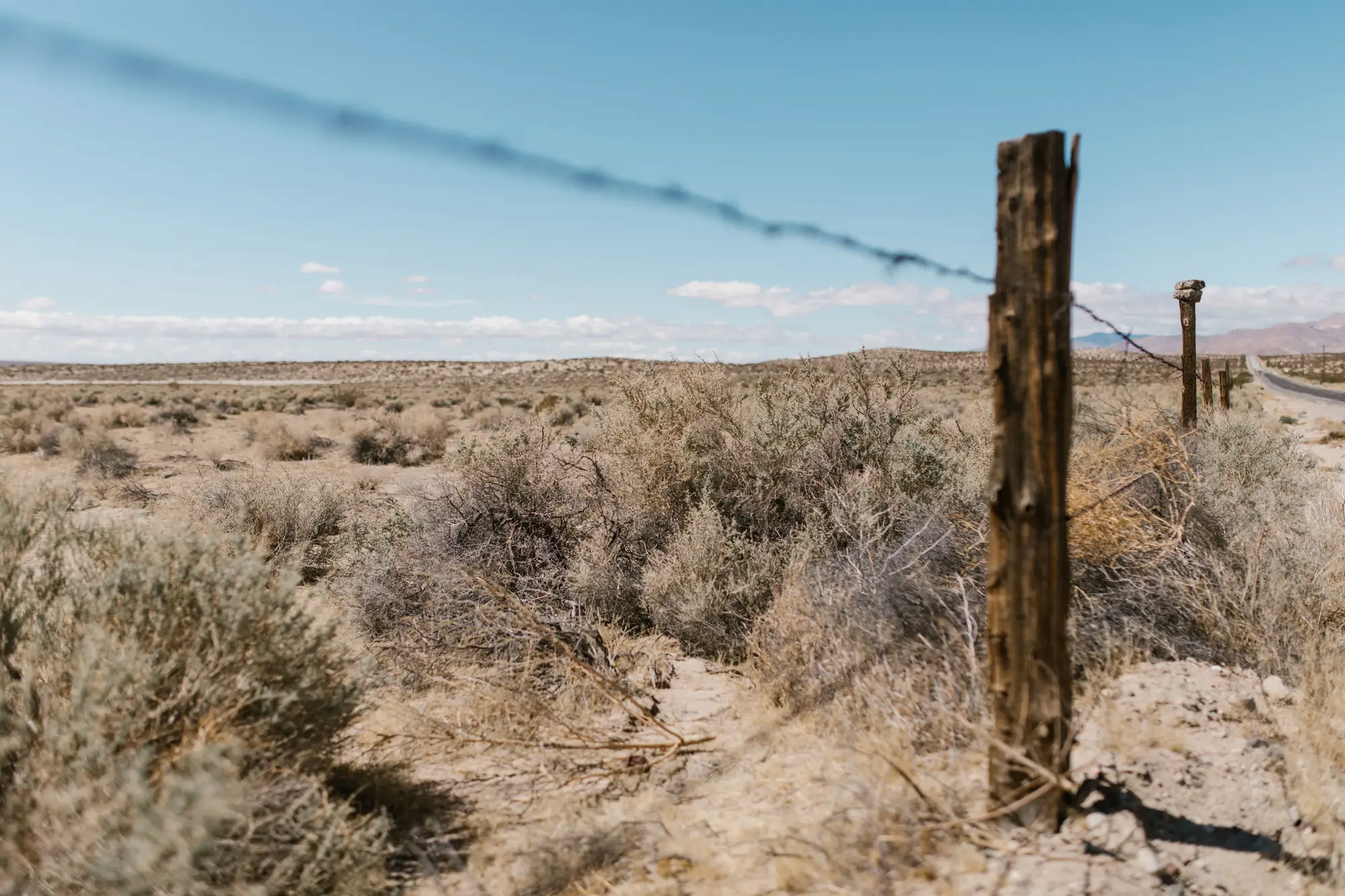
A demarcation pillar is the physical object a survey crew drove into the ground after a delimitation treaty was signed and the paper line got translated into something you can stand next to. Concrete post, cairn, iron marker, whatever the terrain and the era called for. It carries a number, usually matches a strip map or protocol annex, and in theory it tells you exactly where the boundary sits at that point.
In practice it tells you where the boundary sat on the day the crew set it. That's not the same thing as where the legal line runs today, and the gap between those two facts is where a lot of watch-desk confusion starts.
Delimitation, demarcation, and the gap between them
Delimitation is the paperwork: a treaty, a boundary commission report, coordinates in a datum that may or may not match what your GIS uses now. Demarcation is the fieldwork that follows, sometimes years or decades later, where surveyors walk the described line and set pillars at agreed intervals.
Pillars are rarely continuous. Depending on the terrain and the era of the survey, you might find them every few hundred meters, every kilometer, or only at angle points and river crossings, with long unmarked stretches in between where the line is just assumed to run straight, or to follow a watershed, or to track a river's thalweg. On the ground, between pillar 112 and pillar 113, there's nothing to look at. The line exists on paper and in a coordinate pair, not as a cut swath or a painted mark.
That's the first reason pillar position and legal line diverge: most of the boundary isn't marked at all. The pillars are reference points, not a fence.
Why a pillar can sit off the line it's supposed to mark
Even where a pillar does exist, it can end up in the wrong spot relative to the legal line, for reasons that have nothing to do with anyone's intent to move a border.
Rivers shift. A pillar set to mark a thalweg boundary in 1962 may now sit a hundred meters from the channel it was built to reference, because the channel moved and the treaty line, if it follows the river, moved with it even though the pillar didn't. Erosion and slope failure take out pillars on hillsides and riverbanks outright. Construction, grading, and agricultural clearing bury, dislodge, or simply remove markers that were never built to survive a bulldozer. Older pillars get resurveyed with modern GPS and turn out to have been placed a few meters off the coordinates in the original protocol, a discrepancy nobody notices until someone checks.
There's also plain attrition: pillars get stolen for scrap, knocked over by livestock, or grown over by brush until they're unreadable from the ground. A missing or shifted pillar doesn't move the legal boundary. It just means the physical reference the watch desk has been using is now wrong, and nobody's corrected it.
What that means for a watch desk
Calling crossings or staging activity relative to visible pillars means calling them relative to where someone stood sixty years ago, which can differ from the coordinates a court or a commission would use today. For routine tracking, that's usually close enough. For a contested stretch, or anywhere a pillar is known to be missing, damaged, or near a river that's moved, it's worth checking the surveyed line against what's actually on the ground before you log a call as definitive.
That reconciliation work, line versus pillar, line versus fence, line versus what's new since last week's imagery, is most of what eats an analyst's day scrubbing archive tiles one segment at a time. Border Monitoring turns that into a daily feed: new crossings, track activity, fencing changes, and staging areas flagged against the line itself, not just the markers standing on it.
If pillar drift along your sector is a known headache, it's worth seeing what a standing daily watch looks like instead of a manual resurvey of the imagery every time a question comes up.