Optical vs SAR imagery for fence line construction: which one tells you what changed
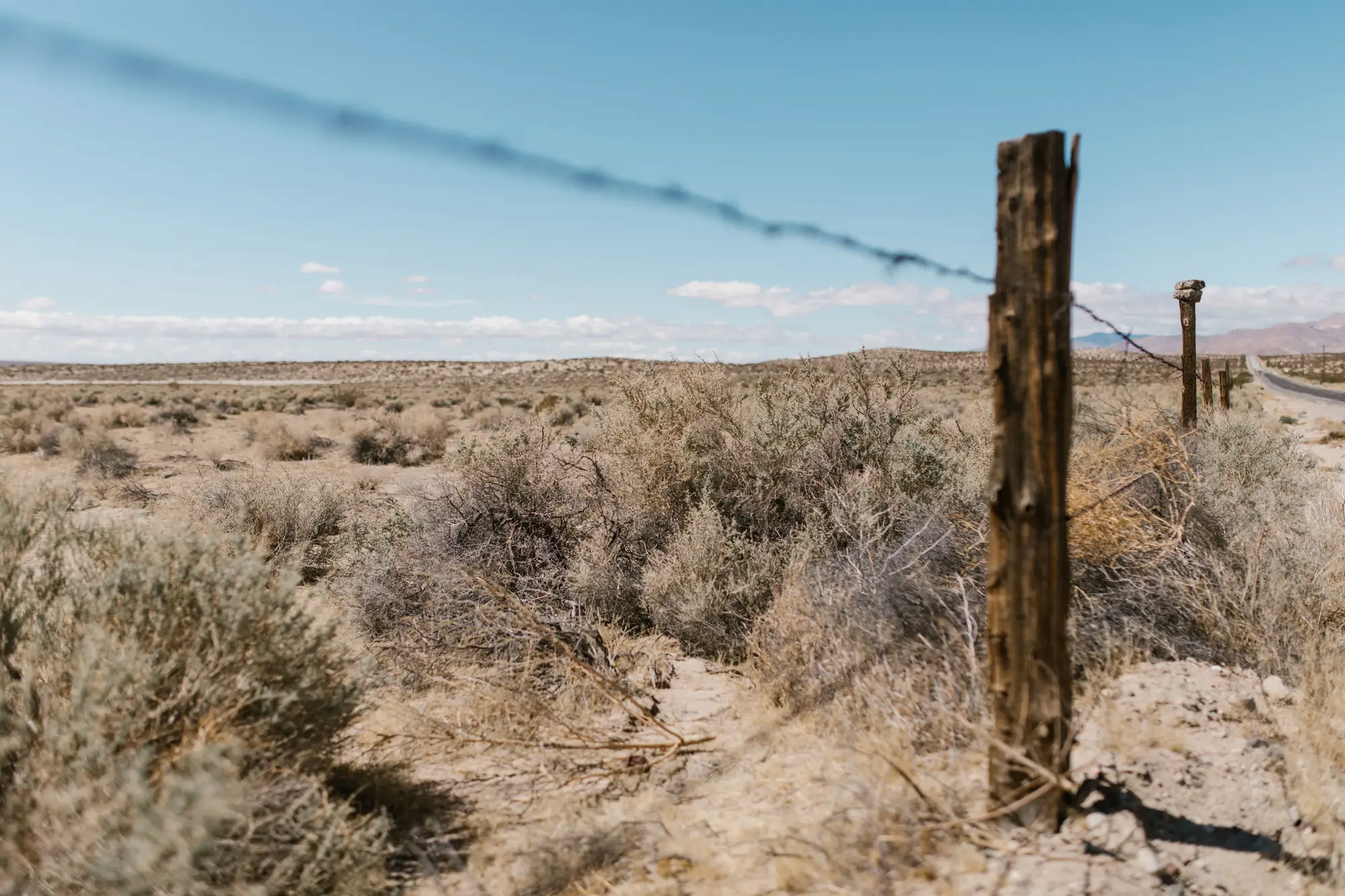
Every watch desk that's spent a season tracking a boundary line eventually runs into the same question from someone upstairs: why aren't we using SAR if it sees through cloud? It's a fair question. The answer depends on what you actually need to catch.
What each sensor shows you on the ground
SAR (synthetic aperture radar) sends its own signal and reads the bounce-back, so it doesn't care if there's cloud cover or whether it's 3 a.m. That's the pitch behind calling it all-weather fence line imagery, and it holds up for presence and large-scale change. What it's less good at is showing you a new 200-meter run of chain-link against an old fence line, a pile of T-posts staged at a turnout, or a grading scar that's three days old. SAR images come back in a different radiometric language. Reading them well takes training most watch desks don't have in-house, and even trained eyes struggle to separate a new fence segment from a hedge row or a drainage change at typical SAR resolutions.
Optical VHR imagery, by contrast, shows you the fence the way you'd see it from a low aircraft. Wire gauge, post spacing, vehicle tracks leading to a new section, a stack of rebar that wasn't there last week. Sub-half-meter resolution puts the scene itself in front of you, with no signal to interpret first. For a watch desk whose job is to look at yesterday's tile against today's and say "that's new," optical is the format that doesn't require a second translation step.
Where cloud cover costs you
Optical imagery needs clear sky and daylight to work. If your segment of the line sits under persistent overcast for a stretch, a satellite pass can come back unusable and you lose that day's look. This is real, and it's the reason SAR gets raised in planning meetings every time someone pulls a cloud-cover statistic for the region.
But for fence line construction specifically, the practical cost of a missed day is usually recoverable in a way the cloud-cover argument tends to undersell. Construction crews don't finish a fence segment in the six hours between one satellite pass and the next. A new run of fencing, a staging area, a fresh access track into a field all leave a signature that's still visible two days later, five days later, often longer. A daily cadence means you're not relying on a single pass to catch the change. You're relying on the next clear day, and on a boundary line that isn't moving as fast as the weather.
Where cloud cover genuinely hurts is in regions with long monsoon windows or persistent winter overcast, where "the next clear day" can be a week or two out. In those stretches, a gap is a gap, and no optical product solves for it. That's the real shape of the cloud cover and fence monitoring tradeoff, and it's worth saying plainly rather than working around it with a confidence number nobody can back up.
Which sensor belongs on the desk
If the job is reading individual fence segments, staging areas, and ground activity along a defined line, optical VHR does the reading for you in a way SAR doesn't, cloud risk and all. If the mission genuinely needs eyes through solid cloud cover for weeks at a stretch, that's a different sensor conversation, and a different budget line, than the one most watch desks are running day to day.
What most desks are running is a daily check against what the line looked like yesterday. A daily console feed built around that exact question saves an analyst from scrubbing archive tiles segment by segment every morning, flagging new construction, track activity, and staging the moment a clear pass comes in.
If your desk is still doing that comparison by hand, it might be worth seeing what a standing daily watch on the line looks like.