Vehicle track vs foot trail: reading track signatures in satellite imagery
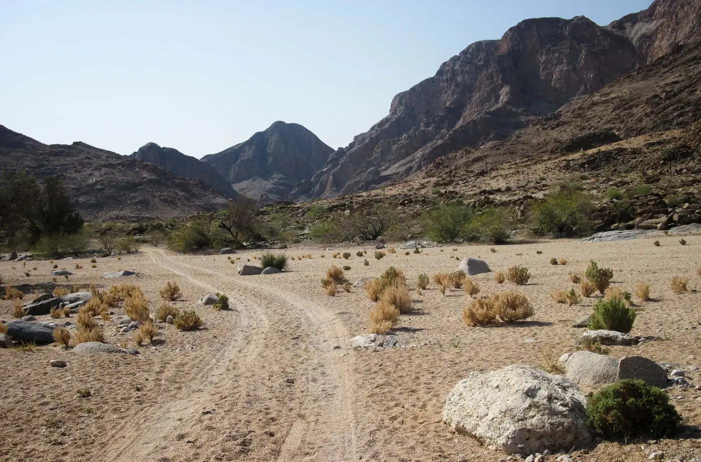
A fresh line of disturbed ground on a boundary line can mean two very different things. One or two people on foot, or a vehicle that just drove through. At 0.3 m or better the imagery usually gives you enough to tell the difference, if you know what to look at before you call it either way.
Width and edge quality
Width is the first filter, and it's cruder than people expect. A single foot trail is typically under a meter, often closer to 30-50 cm when it's one or two people walking in file. A vehicle track, even a narrow ATV or dirt bike line, runs wider and the width holds steady. Where a foot trail narrows and widens depending on how the ground lies, a vehicle track keeps a consistent gauge because the wheelbase doesn't change.
Edges matter as much as width. A foot trail has a soft, irregular edge because boots compress vegetation and soil unevenly step to step. A vehicle track has two edges that read as near-parallel lines, sometimes with a visible gap between them if you're looking at individual tire ruts rather than a packed single lane. On bare soil or sand this shows up as two faint parallel shadows running the same direction.
Turning geometry and spacing
This is the tell that holds up best when the ground cover makes width ambiguous. People on foot can turn in place, double back sharply, or branch off at odd angles with no cost. A vehicle can't. Any track that curves has to curve at a radius a wheeled vehicle could actually take. If a trail makes a tight switchback through brush, that's a foot trail. If it bends in a long, smooth arc to go around an obstacle, that's a vehicle, even if the width reading is marginal.
Spacing of marks along the trail is the other geometry cue. Foot trails, especially ones used by several people over several nights, often show a slightly braided texture: multiple thin parallel threads a few centimeters apart where individual walkers didn't put their feet in exactly the same spot each time. A vehicle track doesn't braid that way. It either stays in one lane because the driver follows the existing ruts, or it shifts in discrete steps when a new vehicle deviates to avoid a rut, producing a track that looks doubled rather than feathered.
Ground disturbance and what repeat passes do
Single-use trails are faint. A one-time foot crossing can be nearly invisible in VHR imagery within days, especially on grass or packed soil, and you may only pick it up because you're comparing against yesterday's tile rather than looking cold. A vehicle crossing, even once, tends to leave a more durable signature because it compresses soil at a different depth and can crush low vegetation in a way that doesn't spring back.
Repeat use changes both signatures but not in the same direction. A foot trail used nightly starts to show as a continuous bare-ground line with the braiding smoothed out over weeks. A vehicle track used repeatedly deepens into visible ruts and starts showing a lighter, compacted center strip between two darker rut lines, especially after rain. If you're watching the same segment day over day, that progression itself is informative. A trail that went from faint and feathered to a single hard line over two weeks is a foot route that got heavier traffic. A trail that was faint and uniform from the first day you saw it is more likely a vehicle, because a single pass already compacts enough to read clean.
Checking the call against context
None of these signs are conclusive alone, which is why the working rule on most boundary lines is to cross-check the trail against what's near it. A track that terminates at a gap in fencing, lines up with a vehicle-width gate, or connects to a known staging area on one side is a stronger vehicle read than width alone would support. A trail that threads through terrain no vehicle could cross, dense brush, a steep wash, a narrow culvert, is a foot trail regardless of how wide it measures at one point.
This is also where a single static image runs out of road. The call gets a lot more confident when you can set today's tile against yesterday's and see whether the line is new, whether it's been walked again, or whether it's widened into something a vehicle could use. That's the comparison Border Monitoring is built to surface automatically on a defined boundary line, flagging new tracks and staging areas as they appear instead of leaving an analyst to scrub archive tiles segment by segment.
If you're watching a line that's generating these calls daily, it's worth seeing what a standing daily feed catches that a cold archive review misses.